First LiDAR Mapping at Rancho Santa Elena, Mexico
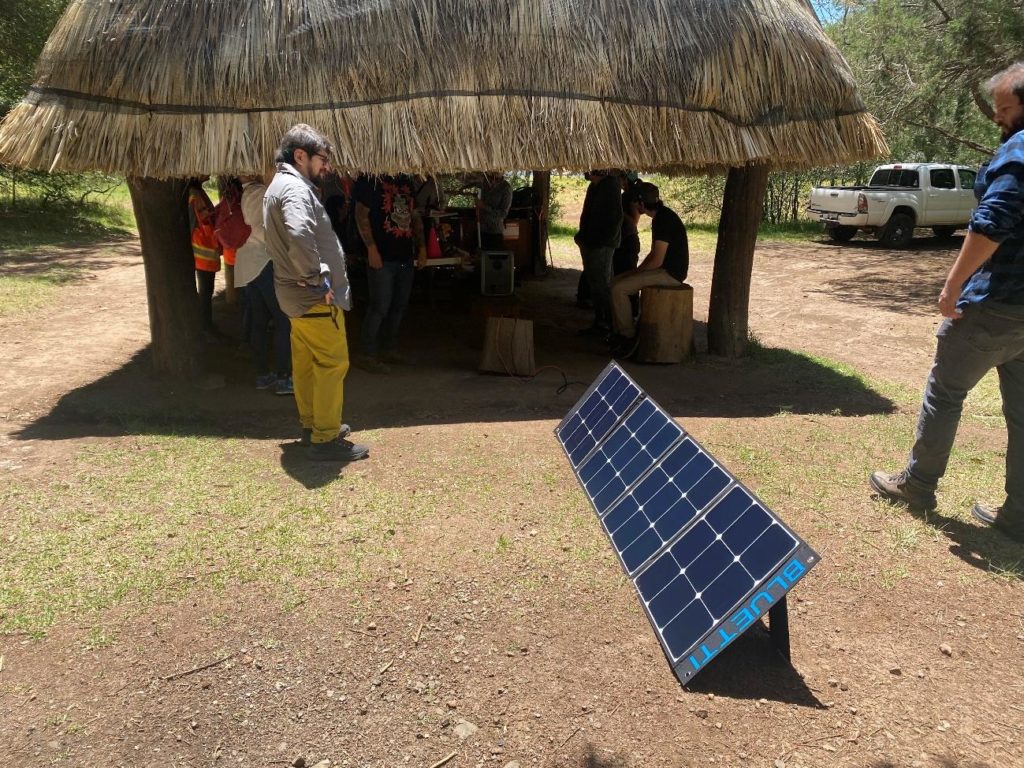
In June 2023, we embarked on an exciting mission at Rancho Santa Elena, Hidalgo! Our main goal: to gather epic data with LiDAR and RGB drones. Armed with the powerful Mavic 3 Enterprise and Matrice 300 RTK platforms, we ventured to analyze vegetation in 20 hectares at an altitude of 2380 meters above sea level.
Getting ready for action, we had practice flights and planning sessions at the Universidad Iberoamericana. This was a team effort with our amazing partners from INIAT, CENTRUS, CIIESS, GeoLab, and IBERO’s Economics, along with experts from CentroGEO-UNAM.


Over two days of flight, we conquered a total of 697 LiDAR files, not only including altitude and position data but also vibrant RGB. Our Mavic 3 Enterprise and Matrice 300 RTK drones shone, working together as an unstoppable duo to cover every corner of the study area.


The result of processing LiDAR and RGB data was simply astonishing: detailed three-dimensional models of the terrain and vegetation emerged. We delved into the pine and oak forest, identifying and analyzing vegetation with unparalleled precision.
Our aerial adventures and detailed discoveries pave the way for a greener and more sustainable future. What an exciting venture it was at Rancho Santa Elena!